From the National Snow and Ice Data Center:
The Polar Vortex
The polar vortex is a persistent large-scale cyclonic circulation pattern in the middle and upper troposphere and the stratosphere, centered generally in the polar regions of each hemisphere. In the Arctic, the vortex is asymmetric and typically features a trough (an elongated area of low pressure) over eastern North America. It is important to note that the polar vortex is not a surface pattern. It tends to be well expressed at upper levels of the atmosphere (that is, above about five kilometers).
And, what is the AO or Arctic oscillation?
The Arctic Oscillation
The Arctic Oscillation refers to opposing atmospheric pressure patterns in northern middle and high latitudes.The oscillation exhibits a "negative phase" with relatively high pressure over the polar region and low pressure at midlatitudes (about 45° North), and a "positive phase" in which the pattern is reversed. In the positive phase, higher pressure at midlatitudes drives ocean storms farther north, and changes in the circulation pattern bring wetter weather to Alaska, Scotland and Scandinavia, as well as drier conditions to the western United States and the Mediterranean. In the positive phase, frigid winter air does not extend as far into the middle of North America as it would during the negative phase of the oscillation. This keeps much of the United States east of the Rocky Mountains warmer than normal, but leaves Greenland and Newfoundland colder than usual. Weather patterns in the negative phase are in general "opposite" to those of the positive phase, as illustrated below.
Over most of the past century, the Arctic Oscillation alternated between its positive and negative phases. Starting in the 1970s, however, the oscillation has tended to stay in the positive phase, causing lower than normal arctic air pressure and higher than normal temperatures in much of the United States and northern Eurasia.

Effects of the Positive Phase | Effects of the Negative Phase
of the Arctic Oscillation of the Arctic Oscillation
of the Arctic Oscillation of the Arctic Oscillation
(Figures courtesy of J. Wallace, University of Washington)
Semipermanent Highs and Lows
The Arctic is characterized by "semipermanent" patterns of high and low pressure. These patterns are semipermanent because they appear in charts of long-term average surface pressure. They can be considered to largely represent the statistical signature of where transitory high and low systems that appear on synoptic charts tend to be most common.From the National Weather Service's Climate Prediction Center:Aleutian Low
This semipermanent low pressure center is located near the Aleutian Islands. Most intense in winter, the Aleutian Low is characterized by many strong cyclones. Traveling cyclones formed in the subpolar latitudes in the North Pacific usually slow down and reach maximum intensity in the area of the Aleutian Low.
Icelandic Low
This low pressure center is located near Iceland, usually between Iceland and southern Greenland. Most intense during winter, in summer, it weakens and splits into two centers, one near Davis Strait and the other west of Iceland. Like its counterpart the Aleutian Low, it reflects the high frequency of cyclones and the tendency for these systems to be strong. In general, migratory lows slow down and intensify in the vicinity of the Icelandic Low.
Siberian High
The Siberian High is an intense, cold anticyclone that forms over eastern Siberia in winter. Prevailing from late November to early March, it is associated with frequent cold air outbreaks over east Asia.
Beaufort High
The Beaufort High is a high pressure center or ridge over the Beaufort Sea present mainly in winter.
North American High (not the one in California on the beach, ok)
The North American High is a relatively weak area of high pressure that covers most of North America during winter. This pressure system tends to be centered over the Yukon, but is not as well-defined as its continental counterpart, the Siberian High.
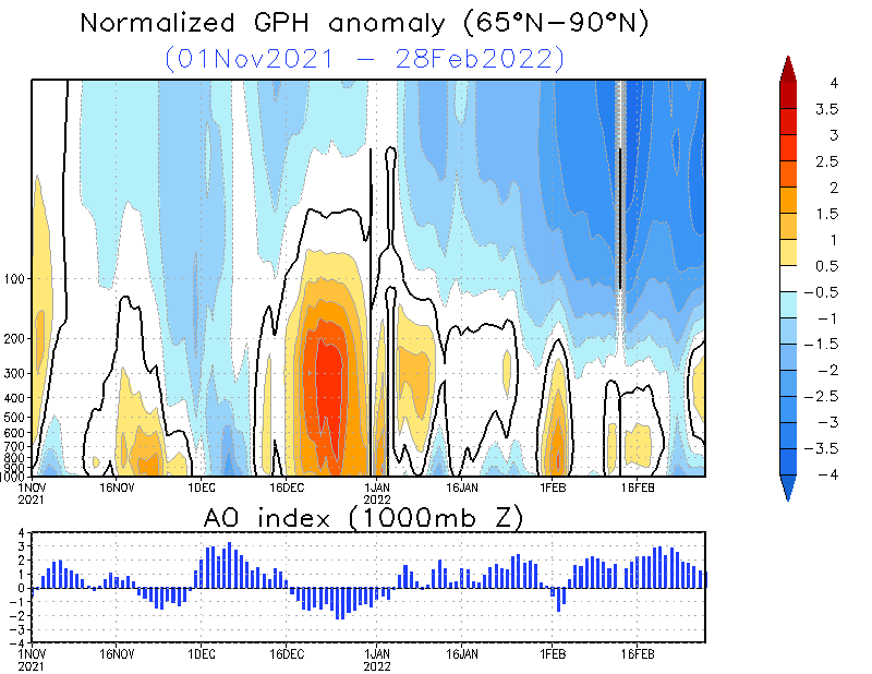
The Arctic Oscillation Index

 | ||||
| (Click on image to enlarge) | ||||
|

From NCAR (for those with a more high-tech bend than I have:
The breakdown of the Stratospheric Polar Night Vortex is an atmospheric event that occurs once or twice each year in the polar wintertime stratosphere. As the polar vortex is formed, sharp gradients of potential vorticity at the vortex edge isolate polar air from the air at lower latitudes, producing conditions favorable for wintertime polar ozone depletion. Rossby waves propagating upward from the troposphere along the edge of the Polar Vortex grows exponentially in amplitude, eventually tearing the vortex apart.
| Related Links | | |
| | ||
| |
The animations depict the flow of the Polar Vortex by visualizing Potential Vorticity (a variable that acts as a tracer) over the 16-day simulation. In the second and succeeding images, the height of the data has been greatly exaggerated to better show the rich vertical structure contained in the vortex. In reality, the vortex is only a few tens of kilometers thick, a pancake-thin region that can extend over much of the Northern Hemisphere.

This image shows a satellite view of the earth from space with three isosurfaces of Potential Vorticity mapped over the Northern Hemisphere from day 16 of the simulation. Brighter colors correspond to increasing Potential Vorticity. The animations at right, show the entire 16-day evolution


5 comments:
yet the polar vortex isn't continuous but has a leakage over black sea through which warmth enters up there, should spell good fo the ozone levels but spells cold to the more populated areas on the planet
Thanks for putting this together - fascinating stuff!
Hi Tenney,
(BTW, Happy New Year ! And I hope you're not affected by heavy rains and mudslides)
What are / would be the consequences of this weakening ? And, do you remember if it already happened ? I re-read your "Polar Vortices" posts, but I can't make a clear figure out of it - it seems to be more a consequence, a sign, than a cause or a precursor?
Or are we starting to play this party http://climatechangepsychology.blogspot.com/2009/02/nasas-earth-observatory-stratosphere.html again ?
Hello All!
Thanks for commenting!
Fred, I imagine that this is all related over time.
Still, chances are that the oscillation will go back towards neutral or positive over the next month or so.
We had better hope so.
Best wishes,
Tenney
Oh, and this region of Brazil is very nearly in drought conditions. No mud slides. But thanks for thinking of me.
Post a Comment